
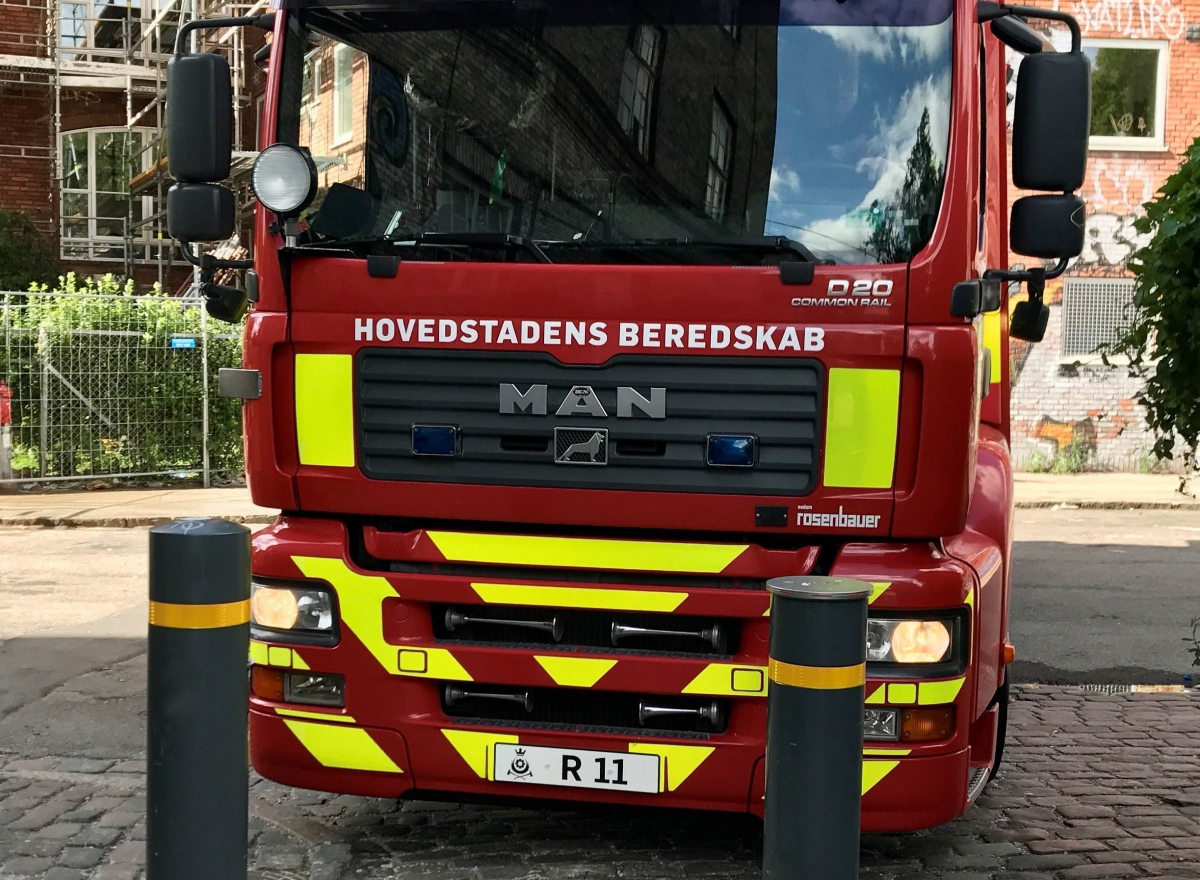
Damasec Global Group har international erfaring med mine- og ammunitionsrydning, produkter til forsvars-, politi- og sikkerhedssegmentet, fysiske beskyttelsesløsninger, eventsikkerhed samt trafikløsninger.
Damasec Global Group har hovedsæde i Danmark.
+20 års national og international erfaring på et højt sikringsniveau.

Vi tror på, at effektiv risikostyring er en vigtig grundsten til succes. Derfor gør vi meget ud af at vidensdele og inddrage alle parter, så der kan træffes et valg på et oplyst grundlag.
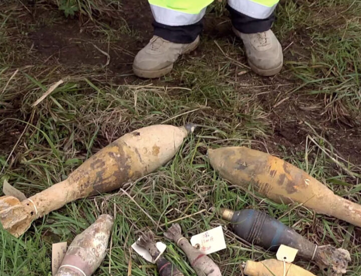
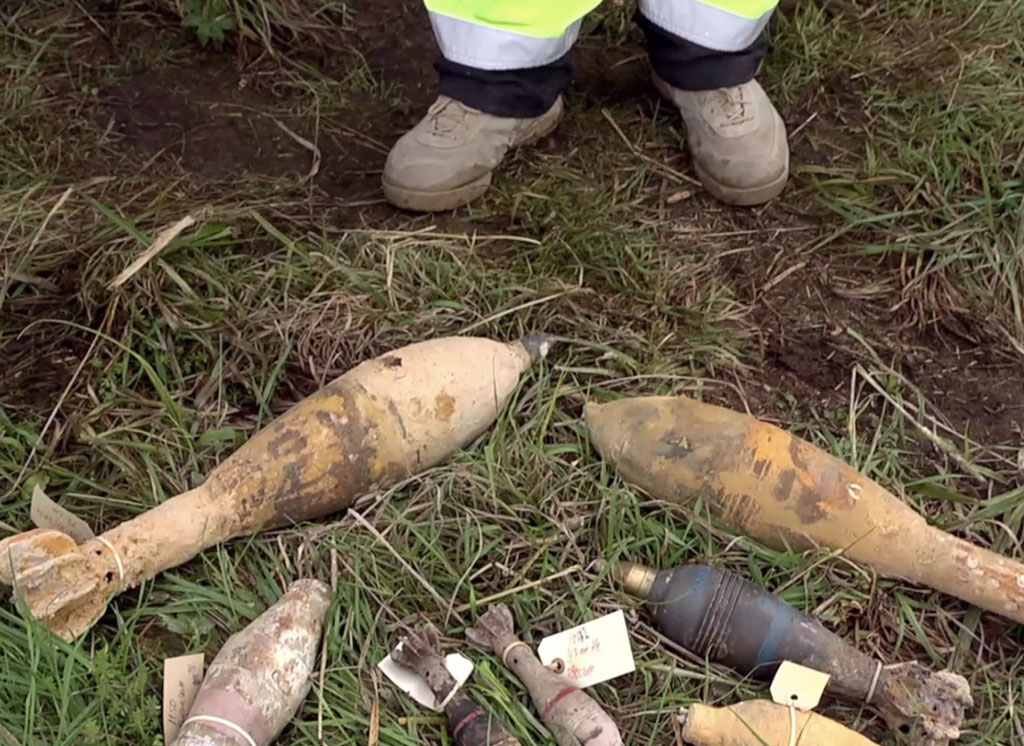
Damasec rydder tidligere
militærområde i Sverige
Historisk svensk øvelsesterræn ryddet for granater.
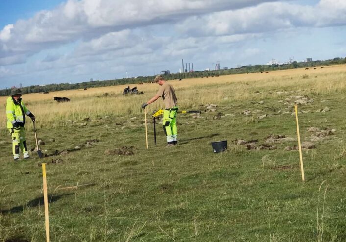
Forsvarets Ammuntionsryddere bortsprængte i går seks granater på Amager Fælled. Damasecs mine- og ammuntionsry...
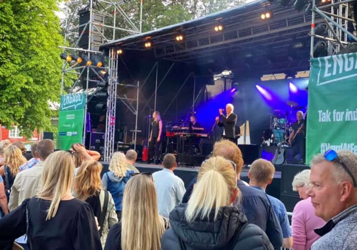
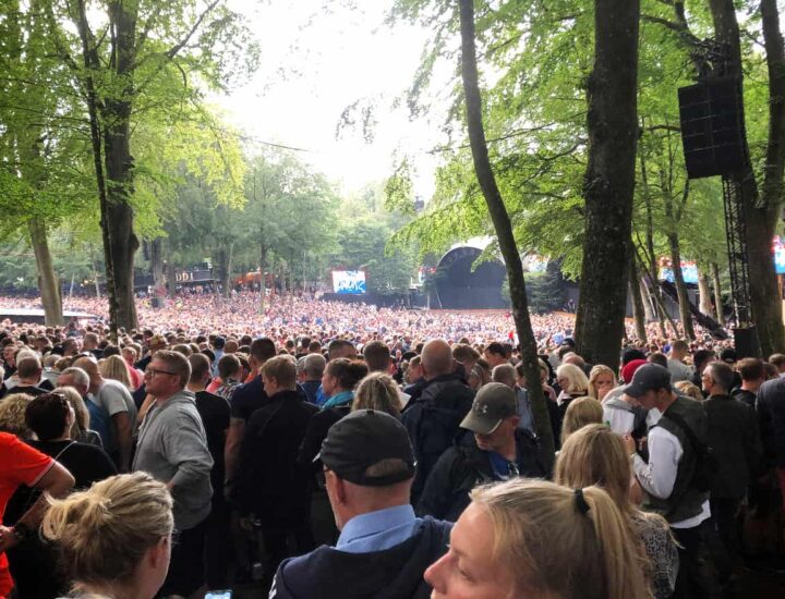
Damasec er stolte af atter engang at støtte ENGAGE Festival 2021, som i år er vendt stærkt tilbage efter sidst...
Det konkluderer Center for Terroranalyse i en netop offentliggjort vurdering udgivet af Politiets Efterretning...
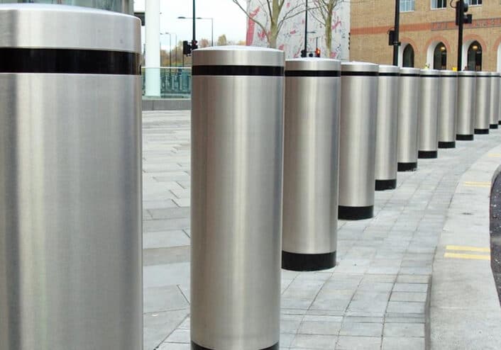
Envytech og Damasec Physical Protection Systems vinder SKL Køretøjsbarrierer (pullerter) 2020 rammeaftale....
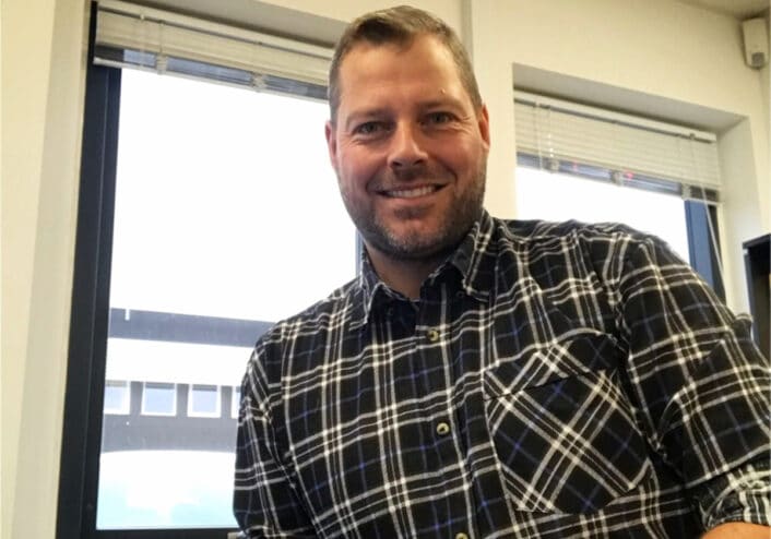
Damasec henter projektleder med mange års erfaring fra Forsvaret....
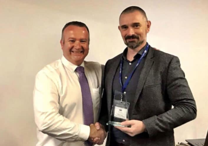
Damasec vinder årets “ATG Access Distributor Appreciation Award 2019”...